
WildfireReported
Diese Wege im Hürtgenwald sind nach dem Waldbrand offen
Hurtgenwald, Germany · place-level location
Climate at this locationRead at wdr.de·1 outlet·17 h ago
Climate Atlas
Every story below names a hazard and a place in its own headline, and was matched to coordinates from open data. Ordering is an Atlas ranking of how widely a story is being reported — it is not a danger level and not an official warning.
8 stories
WildfireReported
Hurtgenwald, Germany · place-level location
Climate at this location
Energy & infrastructureReported
Reutlingen, Germany · place-level location
Climate at this locationWildfireSingle report
Saurusselkopf, Germany · place-level location
Climate at this location
Energy & infrastructureSingle report
Kapfle, Germany · place-level location
Climate at this location
Energy & infrastructureSingle report
Germany · country-level location
More stories
Energy & infrastructureSingle report
Schleswig, Germany · place-level location
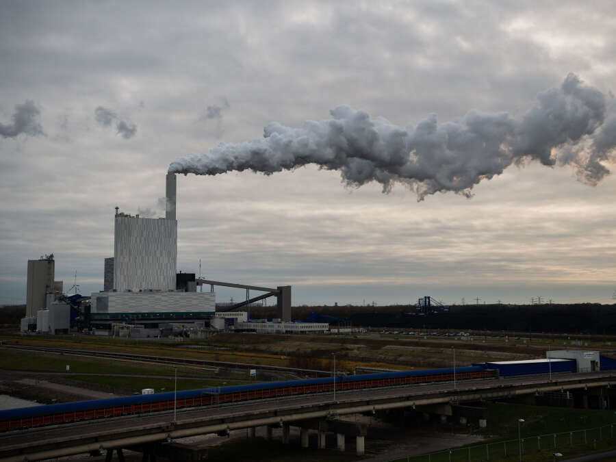
Energy & infrastructureSingle report
Wilhelmshaven, Germany · place-level location
Energy & infrastructureSingle report
Schmolau, Germany · place-level location
The ranking measures reporting, not danger. Heavy coverage follows wealth, language and news cycles at least as much as it follows severity, so a deadly event in an under-covered country will sit below a milder one elsewhere. For official warnings, follow the national weather service for the area. Coordinates are as precise as the headline was: a country-level story is pinned to a country, not to a town.
Headlines, images and links belong to the publishers named on each card. Placement uses the GDELT Global Knowledge Graph.